
The story of how humanity learned to map the heavens and its own place beneath them is a tapestry woven with ingenuity and countless incremental advancements. Among the most elegant and versatile tools born from this quest were astrolabes and their more compact cousins, quadrants. While the full astrolabe, a two-dimensional model of the celestial sphere, offered a wide array of astronomical calculations, its complexity and cost often led to the development of simpler, more focused instruments. The quadrant, essentially a quarter-circle, became a workhorse for astronomers, navigators, and even everyday timekeepers, but its utility was profoundly tied to a fundamental astronomical reality: the observer’s latitude.
The Unseen Anchor: Latitude’s Crucial Role
Imagine looking up at the night sky. The stars appear to wheel around a fixed point – the celestial pole. The height of this pole above your horizon is, quite simply, your latitude. This angle dictates the entire apparent geometry of the sky: which stars are always visible (circumpolar), which rise and set, and the path the sun traces across the sky throughout the day and year. An instrument designed to measure celestial altitudes and derive information like time or direction from them must, therefore, account for this local perspective. A device perfectly calibrated for Baghdad would yield inaccurate results in Cordoba or Paris unless specifically adapted.
This inherent geographical dependence became a central challenge and a driving force in the evolution of astronomical quadrants. Early, simpler quadrants might have provided raw altitude readings, leaving the complex calculations to the user, but the desire for direct, easily readable results spurred innovation towards latitude-specific designs.
Before the widespread adoption of latitude-specific designs, more rudimentary quadrants existed. These often featured a simple degree scale for measuring angles, perhaps with a plumb line for vertical reference. Some might have included a shadow square (quadratum umbrae) for terrestrial surveying. While versatile for basic angle measurement, converting these readings into useful local information like time required considerable knowledge and supplementary tables or calculations, making them less user-friendly for the non-specialist.
Answering the Call for Local Precision
The drive towards quadrants tailored for specific latitudes gained momentum for several compelling reasons. In the Islamic world, the precise determination of prayer times (salat), which are astronomically defined, was paramount. As Islamic civilization flourished and spread, so too did the need for tools that could easily provide this information locally. Similarly, burgeoning trade and travel, though not yet transoceanic in the way we think of it later, still benefited from any improvement in timekeeping and directional awareness.
The core idea behind a latitude-specific quadrant was to pre-calculate and inscribe the celestial geometry for a particular location directly onto the instrument’s face. Instead of the user having to perform complex spherical trigonometry, the quadrant itself became a graphical computer. This involved engraving curves representing lines of equal altitude (almucantars) and lines of equal azimuth (vertical circles) as they would appear projected onto the quadrant’s plane for that fixed latitude. The sun’s shadow, cast by a gnomon, or the sighting of a star through pinnules, would then directly indicate the desired information, most commonly the time of day.
The development of latitude-specific quadrants marked a significant step in making practical astronomy more accessible. By encoding complex astronomical relationships for a given locale directly onto the instrument, they reduced the computational burden on the user. This innovation was particularly vital for religious observances and local timekeeping across diverse geographical regions.
Variations on a Theme: Tailored Tools
The principle of latitude-specific design manifested in several distinct types of quadrants, each optimized for particular tasks, though often with overlapping functionalities.
The Horary Quadrant: A Sun Clock in Your Hand
Perhaps the most common type of latitude-specific quadrant was the horary quadrant. Its primary function was to tell the time using the sun’s altitude. The face of an horary quadrant would be engraved with a series of curves representing the hours of the day, specifically calculated for the intended latitude. These hour lines would often be differentiated for different times of the year, or months, to account for the sun’s changing declination (its height above or below the celestial equator). To use it, the observer would align the quadrant, often with a plumb line ensuring it was vertical, and allow the sun’s rays to pass through a pinhole gnomon or cast a shadow from a fixed bead onto the hour lines. The point where the shadow fell indicated the current local solar time. These were, in essence, highly sophisticated portable sundials, but with the added precision of astronomical calculation built in.
The Sinecal Quadrant: Versatility for a Fixed Locale
The sinecal quadrant, or rubu’ mujayyab in Arabic, was a more versatile instrument. It featured a grid of orthogonal lines representing sines and cosines, effectively creating a trigonometric table etched in metal or wood. While some truly universal sinecal quadrants existed, allowing for calculations at various latitudes with more user input, many were also adapted or primarily used for a specific latitude where their markings could be combined with other latitude-dependent scales. For instance, a sinecal quadrant for a given latitude might also include horary lines or markings related to the qibla (the direction of Mecca). Its trigonometric grid allowed for a wider range of calculations beyond simple timekeeping, including solving problems in spherical astronomy and even surveying, all simplified by the pre-calculated context of the design latitude.
Astrolabe Quadrants: A Slice of the Heavens
The astrolabe quadrant represented a clever fusion, taking essential features of the full astrolabe and adapting them to the quadrant form, again, typically for a specific latitude. Instead of a full disc with multiple plates for different latitudes, an astrolabe quadrant would have the stereographic projection of the necessary celestial coordinates (like almucantars and sometimes specific star positions) for a single latitude engraved onto its surface. It would typically include a movable alidade (sighting rule) pivoted at the quadrant’s apex. While not as comprehensive as a full astrolabe, it was significantly more portable and less expensive to produce, offering a powerful subset of an astrolabe’s capabilities for a designated location. This made it an excellent tool for teaching astronomy or for individuals who needed astrolabic functions but only operated within a limited geographical area.
Artisans of the Sky: Crafting Precision
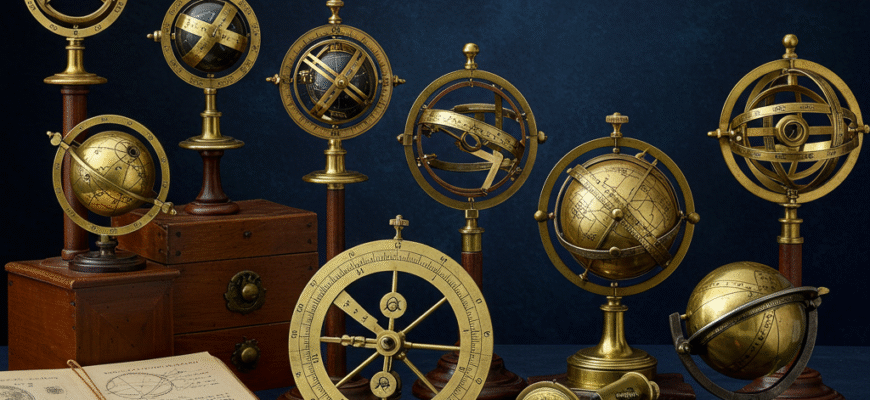
The creation of these instruments was a testament to the skill of medieval and Renaissance artisans. Most were crafted from brass, prized for its durability and ability to hold fine engravings. Wood was also used, particularly for larger or less expensive examples. The precision required in marking the scales and curves was immense, as even small errors could lead to significant inaccuracies in readings. Engravers would meticulously transfer calculations onto the quadrant’s surface, often adorning their work with intricate decorations, making these instruments not just tools but also objects of art. The plumb bob, essential for ensuring the quadrant was held vertically, was typically made of lead or brass and suspended by a fine thread.
The initial flourishing of sophisticated quadrant design, especially those tailored for specific latitudes, occurred prominently within the Islamic world from around the 9th century onwards. Scholars and instrument makers in centers like Baghdad, Damascus, Cairo, and later Al-Andalus (Islamic Iberia), were at the forefront. Their work on horary quadrants for determining prayer times and sinecal quadrants for broader astronomical calculations laid the groundwork. These designs, along with the knowledge of their construction and use, gradually diffused into Europe, particularly through Spain and Italy, starting around the 12th and 13th centuries. European instrument makers then began to produce their own versions, adapting and sometimes simplifying the designs for local needs, such as university teaching or navigation (though specific navigational quadrants evolved differently).
The Waning of the Quadrant
The March of Time and Technology
For centuries, latitude-specific quadrants served humanity well. However, the relentless march of technological progress eventually led to their decline. The development of increasingly accurate mechanical clocks, starting in the late Middle Ages and significantly improving through the Renaissance, began to supplant the quadrant’s role as a primary timekeeper, especially in urban settings. For navigation, while quadrants remained important, the invention of the sextant in the 18th century offered far greater accuracy for determining latitude at sea by measuring celestial altitudes with more stability on a moving ship. Astronomical observation also moved towards telescopic instruments, which offered unparalleled views and measurement capabilities. By the 18th and 19th centuries, while still objects of historical and scientific interest, astrolabe quadrants for specific latitudes were largely superseded for practical daily use.
Echoes in Modern Science
Despite their obsolescence for everyday tasks, the legacy of these meticulously crafted instruments is profound. They represent a critical stage in the human endeavor to understand and quantify the cosmos and our place within it. The mathematical principles underlying their design, particularly stereographic projection and spherical trigonometry, remain fundamental to astronomy and geodesy. More than just tools, these quadrants are tangible links to the scientific minds of the past, embodying a period where observation, mathematics, and craftsmanship converged to unlock the secrets of the heavens, one latitude at a time. They remind us that the journey of scientific discovery is built upon such elegant and focused solutions to the challenges of their era.


