For centuries, the vastness of the oceans presented a terrifying, often fatal, enigma to mariners. While latitude, the north-south position, could be determined with reasonable accuracy by observing the sun at noon or the Pole Star, longitude, the east-west position, remained stubbornly elusive. This “longitude problem” wasn’t just an academic curiosity; it was a matter of life and death, of economic prosperity and national power. Ships laden with valuable cargo or entire fleets could be wrecked on unseen coasts, miss their destinations by hundreds of miles, or become hopelessly lost, leading to starvation and disease. The quest to solve it became one of the greatest scientific challenges of the age, a pursuit that would ultimately find its most practical early solutions in the precise observation of the heavens.
The Allure and Agony of an Unseen Line
Imagine sailing west from Europe. Each day, the sun rises later according to your ship’s local time. The core of the longitude problem lay in knowing how much “later” that was compared to a fixed reference point, like London or Paris. If you could determine the exact time at your home port simultaneously with your local time, the difference, at a rate of 15 degrees of longitude per hour, would reveal your position. The challenge was finding a reliable “clock in the sky” or a portable clock that could keep perfect time on a rolling, pitching, temperature-varying ship over months at sea.
Early methods were crude and often disastrously inaccurate. Dead reckoning, estimating position based on course, speed, and time, was notoriously unreliable due to unpredictable currents, leeway, and errors in measuring speed. Other ideas, like observing magnetic declination (the difference between true north and magnetic north), proved too inconsistent across the globe to be a universal solution. The sea, in its immensity, demanded something more precise, more universal.
Why Was Longitude So Much Harder?
Latitude determination relies on the Earth’s axis of rotation. The height of the celestial pole (Polaris in the Northern Hemisphere) above the horizon directly gives your latitude. Alternatively, measuring the sun’s maximum altitude at noon and knowing the date (and thus the sun’s declination) also yields latitude. These are relatively straightforward angular measurements against a fixed celestial backdrop.
Longitude, however, is a measure of rotation. The Earth spins 360 degrees in roughly 24 hours. To know your longitude, you need to know the difference in time between your location and a prime meridian. The sky itself doesn’t directly offer an east-west fixed point in the same way it offers a north-south one. Instead, astronomers realized they needed a celestial event that could be precisely predicted and observed from anywhere, acting as a universal time signal.
Astronomy Steps Forward: The Celestial Clock
The most promising solutions emerging in the 16th, 17th, and 18th centuries were astronomical. The heavens, with their predictable cycles, offered potential methods to determine Greenwich Mean Time (GMT) or the time at another reference meridian, even when far out at sea.
Galileo’s Fleeting Hope: The Moons of Jupiter
In 1610, Galileo Galilei’s discovery of Jupiter’s four largest moons (the Galilean moons) offered an early astronomical prospect. These moons orbit Jupiter with predictable regularity, and their eclipses by the planet or transits across its face could, in theory, be used as time signals. If astronomers could create accurate tables predicting these events for a prime meridian, an observer anywhere else could note the local time of an event and compare it to the predicted time, thus finding their longitude. While this method proved valuable for determining longitude on land and improving cartography, it was fiendishly difficult to use at sea. Observing these faint events through a telescope on the unstable deck of a ship, often in poor weather, was nearly impossible.
The Lunar Distance Method: The Moon as a Celestial Hand
A more viable, though immensely complex, seagoing astronomical method was that of “lunar distances.” The Moon moves relatively quickly across the backdrop of fixed stars, completing a full circuit in about 27.3 days. The idea was that if one could precisely measure the angular distance between the Moon and specific bright stars (or the Sun), and if one had highly accurate tables predicting these distances as seen from a reference meridian (like Greenwich) for specific times, then an observation at sea could be used to find the corresponding Greenwich time.
The challenges were manifold:
- The Moon’s Complex Motion: The Moon’s orbit is affected by the gravitational pull of both the Earth and the Sun, making its path incredibly complex to predict with the necessary accuracy. Isaac Newton’s laws of motion and universal gravitation provided the theoretical framework, but translating this into precise tables was a Herculean task.
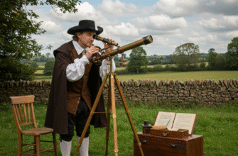
- Observational Difficulty: Measuring these angular distances accurately from a moving ship required specialized instruments like the sextant (an improvement on the octant and backstaff) and considerable skill.
- Corrections: Observed lunar distances had to be corrected for parallax (the apparent shift in the Moon’s position due to being viewed from the Earth’s surface rather than its center) and atmospheric refraction (the bending of light as it passes through the atmosphere). These corrections were themselves complex calculations.
Despite these difficulties, the lunar distance method held immense promise because it didn’t rely on delicate machinery but on celestial mechanics and mathematics.
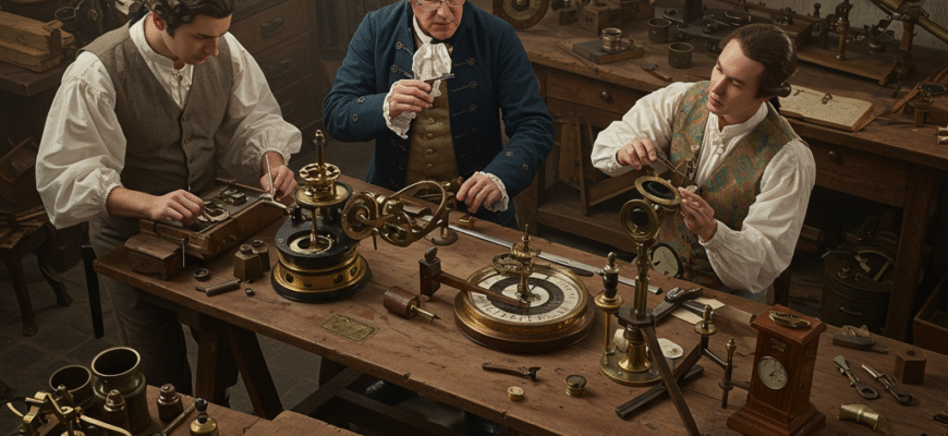
The British government, acutely aware of the strategic and economic importance of solving the longitude problem, established the Board of Longitude in 1714. Through the Longitude Act, it offered substantial financial rewards, equivalent to millions of pounds today, for a practical method to determine longitude at sea. This spurred intense research and competition among scientists, astronomers, and clockmakers.
The Architects of Astronomical Longitude
Solving the longitude problem astronomically wasn’t the work of a single individual but a collaborative, multi-generational effort, heavily reliant on the meticulous work of astronomers and mathematicians.
John Flamsteed, the first Astronomer Royal at the newly founded Royal Observatory in Greenwich (established in 1675 precisely to aid in solving longitude), undertook the monumental task of accurately cataloging star positions. His “Historia Coelestis Britannica,” published posthumously, provided the foundational stellar data against which lunar movements could be measured.
Edmond Halley, Flamsteed’s successor, was a strong proponent of the lunar distance method. He understood the importance of accurate lunar tables and even undertook voyages himself to test navigational techniques and study magnetic variation.
However, it was the German astronomer Tobias Mayer of Göttingen who, in the mid-18th century, produced lunar tables of remarkable accuracy, building upon earlier work by Euler. He incorporated Newtonian theory and observational data to predict the Moon’s position with sufficient precision for the lunar distance method to become truly practical. Mayer posthumously received a portion of the Longitude Prize for his tables.
Nevil Maskelyne, the fifth Astronomer Royal, became the champion of the lunar distance method. He had personally tested Mayer’s tables on a voyage to St. Helena in 1761 and found them highly effective. Upon his return, he lobbied for their publication and, crucially, spearheaded the creation of the Nautical Almanac and Astronomical Ephemeris in 1766. This annual publication pre-calculated lunar distances and other astronomical data for Greenwich Mean Time, vastly simplifying the calculations required by navigators at sea. For the first time, sailors had a practical, albeit demanding, astronomical toolkit to find their longitude.
The process typically involved:
- Measuring the altitude of the Moon and a chosen star (or the Sun) with a sextant.
- Measuring the angular distance between the Moon and the star.
- Noting the precise local time of these observations.
- Performing a series of calculations (the “clearing of the lunar distance”) to correct for parallax and refraction, yielding the true geocentric lunar distance.
- Consulting the Nautical Almanac to find the Greenwich Mean Time at which this true lunar distance occurred.
- Comparing this GMT with the local time to determine longitude.
The Rival: Harrison’s Chronometer
It’s impossible to discuss the longitude problem without mentioning John Harrison, the brilliant, self-taught Yorkshire carpenter and clockmaker. Harrison dedicated his life to creating a marine chronometer, a clock accurate and robust enough to keep precise time on long sea voyages, despite temperature changes, humidity, and the motion of a ship. After decades of painstaking work, his H4 chronometer, tested in the 1760s, proved astonishingly accurate. If a ship carried a chronometer set to GMT, a simple comparison of the chronometer’s time with the ship’s local time (determined by solar observation) would give the longitude.
The Board of Longitude was initially skeptical, partly due to the astronomical establishment’s preference for their own methods and concerns about the practicality of manufacturing such complex devices in quantity and at affordable prices. Harrison faced immense struggles to receive the full prize money he was due.
While the marine chronometer eventually became the dominant method for determining longitude due to its relative ease of use compared to lunar distances, the astronomical methods, particularly lunar distances, were vital for several decades. Moreover, accurate astronomical observations remained essential for setting and checking chronometers. The two solutions were, for a time, complementary.
Indeed, even with a perfect chronometer, one still needed astronomy to determine local time accurately. And before chronometers became widely available and affordable (which took many decades), the lunar distance method, enabled by the work of astronomers and the Nautical Almanac, was the breakthrough that significantly improved the safety and efficiency of maritime navigation.
The Legacy of an Astronomical Quest
The astronomical solution to the longitude problem was a triumph of scientific observation, mathematical theory, and international collaboration. It fundamentally changed humanity’s relationship with the oceans. Accurate longitude determination:
- Dramatically improved maritime safety: Fewer shipwrecks, fewer lives lost.
- Enhanced trade and exploration: Voyages became more predictable and efficient, opening up new trade routes and facilitating global exploration.
- Advanced cartography: Accurate land surveys and mapmaking became possible, leading to a truer understanding of the world’s geography.
- Spurred scientific advancement: The quest fueled developments in astronomy, mathematics, optics, and instrument making.
The Royal Observatory at Greenwich, established to solve this very problem, became the site of the Prime Meridian (0 degrees longitude) by international agreement in 1884, a testament to Britain’s leading role in this scientific endeavor. The meticulous star charts, the refined understanding of lunar motion, and the computational methods developed were lasting contributions from the astronomical community.
While today, GPS satellites provide instant and incredibly precise location data, it’s worth remembering the centuries of intellectual struggle and the pivotal role astronomy played in first conquering the elusive challenge of longitude. The ability to determine one’s east-west position was not just a technical feat; it was a crucial step in knitting the world together, driven by the predictable dance of celestial bodies across the vast canvas of the sky.